
Trace an Apple Valley Street Address
A useful Apple Valley street directory starts with a physical address and keeps each record tied to the right parcel. The address becomes a situs search in County Parcel Access. The selected parcel supplies an APN, current assessment facts, and an owner or assessee name when that information is not suppressed. That name can then be tested in the San Bernardino County Recorder index. A voter-status check is a separate, identity-gated service, not an open street list. Regional criss-cross books add historical occupant or subscriber clues, but their coverage changes by edition. Keep owner, mailing contact, voter, and listed occupant as separate labels.
- Normalize the Apple Valley address, including directional terms, unit details, tract names, and known Highway 18 variants.
- Search the San Bernardino County Assessor Parcel Access map or address field, then record the APN, situs, and mailing distinction.
- Use the APN and current name as anchors in the Recorder index, remembering that the Recorder does not search ownership by street address.
- Use the California My Voter Status form only for the voter’s own identity check; a qualified data request is a different path.
- Ask the California Room for the street section of a criss-cross volume, then compare the listed address with deeds, census entries, and newspapers.
Process: address → APN → owner or assessee → deed index → lawful voter evidence → criss-cross and census clues. Each arrow answers a narrower question than the word “resident.”
Apple Valley Street Records in San Bernardino County
Different Apple Valley offices hold different pieces of a street record. Parcel Access is an assessment tool. The Recorder index is a name and document catalog. Town Building and Safety, Planning, and Code Enforcement hold local administrative files. A tax bill can confirm an APN and mailing contact, while a criss-cross entry can show a listed subscriber. None of those facts alone proves who occupies a property.
| Address Record | Custodian | What It Shows | Access Route |
|---|---|---|---|
| Parcel and assessment roll | San Bernardino County Assessor | APN, situs, assessee or owner field, mailing address, values, use, and characteristics | Free Parcel Access and downloadable files |
| Interactive parcel map | ARC Public Assessor Map | Lot outlines, adjacent parcels, map position, and available layers | Free manual map browsing |
| Recorded deeds and liens | San Bernardino County Recorder-Clerk | Grantor, grantee, document type, date, number, and legal-description trail | Free 1925-present index; image at office or by order |
| Property tax bill | Treasurer-Tax Collector | APN, secured or unsecured bill facts, payment status, and tax mailing contact | MyTaxCollector by APN |
| Permits and inspections | Town Building and Safety | Project address, applicant or contractor, work description, status, and inspection trail where retained | OpenGov plus Town request |
| Planning and code cases | Town Planning and Code Enforcement | Zoning, entitlement, notice, violation, inspection, or abatement details where disclosable | Town staff, routed request, or CPRA request |
| Criss-cross directory | Arda Haenszel California Room | Address-ordered listed occupant or telephone subscriber | In-library research; 1976-present run, coverage varies |
| Voter registration data | California Secretary of State and County Registrar | Self-status or approved geographic data, not an open street roster | Identity-gated self-service or qualified Elections Code request |
The APN is the bridge. It lets a researcher compare a parcel record with a deed, permit, map, or tax entry without treating a street name as a stable key. For a whole street, select parcels one by one in the map, save each APN, and mark vacant, common, commercial, and developed lots separately.
Note: An address record can identify a parcel or public filing party without identifying every person who uses that parcel.
Read Apple Valley Street Parcel Access Fields
The County Assessor is the most practical first stop for an Apple Valley street directory because it accepts a situs address, an APN, or a map click. The public map is free, and the County also publishes downloadable annual and current property files. Owner-name special queries are not offered. Search by address or parcel, then inspect the output rather than treating the map label as a proof of title.
| Address / situs | Text or autocomplete search for the physical location; normalize number, direction, and suffix forms. |
|---|---|
| APN | County parcel identifier; use it to link the map, assessment, deed search, and tax bill. |
| Map click | Pan and zoom to select a parcel polygon, then open its detail panel. |
| Layers and controls | Parcel context, roads, jurisdiction, zoning, and other layers may be available; the live layer list can change. |
| Parcel output | Situs, assessee or owner field where not suppressed, mailing address, use, values, transfer date in downloadable data, and characteristics. |
| Limit | The Assessor says its data is for taxation and does not adjudicate legal ownership or permitted use. |
Four terms keep the field set honest. A parcel is the tax and map unit. A situs address is where the land sits. A plat is a recorded map that fixes lots, blocks, and streets within a tract. A criss-cross directory reverses the normal name order and starts with a street and number, then gives the listed occupant or subscriber.
- Mailing address
- Where tax or official mail is sent. It may be outside the parcel and does not prove residence.
- Situs address
- The physical address used for the parcel, permits, mapping, and local response.
- APN
- The Assessor’s parcel key. Parcels can split or merge, so preserve the date and legal description.
- Plat
- A recorded subdivision map that can connect an older legal identity to a later street label.
The ARC service summary describes the combined Assessor-Recorder-Clerk role and helps separate assessment evidence from recorded documents.
Open the ARC service summary to see the County source captured below.
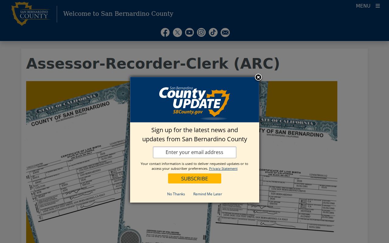
The ARC service image gives the street researcher a quick view of the County office family behind parcel, recorder, and clerk functions.
Browse Apple Valley Street Parcels in GIS
Parcel Access also works as a street-browse tool. Search one known address, zoom until the parcel edges are selectable, and click outward along the same road. Record the subject APN first. Then record each adjoining APN and situs separately. The map may offer roads, jurisdiction, zoning, flood, fire, or district layers, but the precise live layer set can change. There is no verified public owner-radius export, so the reliable method is manual adjacent selection.
Apple Valley’s large, low-density High Desert geography makes this step more important than house-number order. The Apple Valley street directory works best as a parcel-by-parcel ledger. A road can pass developed subdivisions, equestrian parcels, commercial frontage, vacant ground, and common areas. A neighboring polygon is not automatically a neighboring home. Compare the map shape, situs field, land use, and jurisdiction before calling a parcel part of the block.
For a street segment, keep a simple research ledger with map date, APN, situs, parcel status, owner or assessee field, mailing distinction, and source link. This preserves the difference between what the GIS map shows and what a later deed or permit may establish.
Build an Apple Valley Street Deed Chain
The Recorder’s Public Access System searches names and documents, not ownership by street address. The online index covers 1925 to the present and is free. Its public fields include indexed grantors and grantees, document number, document date, title or type, and sometimes book and page. Search spelling variants. A grantor is the party giving or conveying an interest. A grantee receives it. The role can shift by instrument, so read the document type before drawing a conclusion.
- Use Parcel Access to capture the current owner or assessee, APN, situs, transfer date, and legal description.
- Search that name as grantee near the transfer date, then compare the document number and legal description.
- Open or order the deed, record the grantor, vesting, date, document number, and legal description, and note related deeds of trust or reconveyances.
- Search the earlier grantor as a grantee and repeat until the online date range ends.
- At the earlier edge, ask ARC staff for the Hall of Records books or indexes and use the High Desert Government Center in Hesperia when practical.
Remote images are intentionally unavailable under Government Code section 6254.21. Image viewing is available at the Hall of Records, 222 West Hospitality Lane in San Bernardino, or at the Hesperia High Desert Government Center. Copies can be ordered. The ARC page lists a noncertified first page at $4, later pages at $1.50, a seal at $1.50 per page, and online card charges at 3.5 percent. It also posts July 2026 mail charges of $3.50 USPS Standard or $29 Priority, in addition to copy charges.
The Recorder Public Access disclaimer is useful before a street search because it flags spelling variation and the limits of an index. An index entry is a lead. The deed image and legal description carry the stronger evidence.
Open the Recorder Public Access disclaimer to see the source capture below.
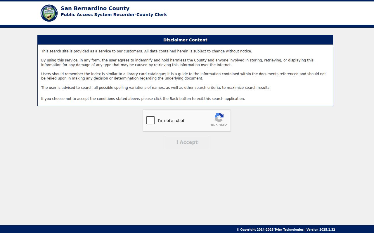
The disclaimer capture reinforces the key street-directory rule: use the parcel to find a party name, then use the Recorder index to follow the deed chain.
Apple Valley Street Permits, Code and Planning
Town records add a local address layer that the County roll cannot provide. The Town’s published service pages place Town Hall in the 14955 to 14975 Dale Evans Parkway area, Apple Valley, California 92307, while another service page displays a nearby number. Verify the destination page before mailing or visiting. The main Town line is (760) 240-7000. Published hours are Monday through Thursday, 7:30 a.m. to 5:30 p.m., and Friday, 7:30 a.m. to 4:30 p.m., with every other Friday closed.
Building and Safety routes through the main line at extension 7013. Code Enforcement uses (760) 240-7560. Planning uses extension 7200, and Public Works uses extension 7500. The Town Directory contact form asks for first name, email, and a help category, then routes building-record, permit-status, inspection, code, zoning, or other questions. That form is a contact channel, not a published permit history.
The Apple Valley OpenGov portal is the online entry for applications and records where the public view exposes them. Research did not confirm a complete public field list or start date. When the portal does not answer the question, make a focused California Public Records Act request to the Town Clerk or Government Services. Name the address or APN, date range, department, permit or case number, and record sought. Inspection is free; direct duplication cost may apply. The Town normally decides within 10 days whether it holds disclosable records, with a written 14-day extension possible in unusual circumstances.
Open the Apple Valley OpenGov portal to see the permit source captured below.
The OpenGov capture shows the correct Town channel for permit and application research, while the request route remains the fallback for records not exposed online.
Separate Apple Valley Tax and Situs Fields
The County Treasurer-Tax Collector adds a useful check for a street record. The MyTaxCollector service can be searched by APN for secured or unsecured bill information and payment status. A tax mailing contact may be an owner, trust, agent, or out-of-area recipient. It can help locate a responsible contact, but it does not prove who lives at the situs address.
Compare the tax result with the Assessor’s situs, the deed’s legal description, and any Town permit address. If a name appears in one source but not the others, keep the mismatch visible. A trust transfer, estate, management contact, parcel split, or stale mailing entry can explain the difference without changing the parcel’s identity.
Open MyTaxCollector to see the County tax-search source captured below.
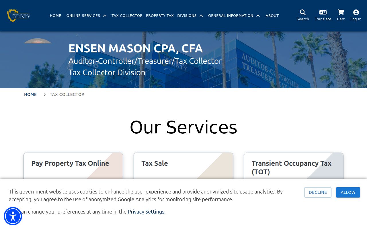
The tax-search image belongs beside the APN workflow because it shows a bill lookup, not a resident roster.
Apple Valley Voter Data Has a Boundary
California’s My Voter Status tool is a self-verification screen. It asks for the voter’s first name, last name, date of birth, and a conditional driver license or identification detail, with county selection when needed. A matched voter may see status, residence or mailing details, political preference, precinct, districts, polling or vote-by-mail information, and participation history. The service is not a public name directory and cannot be used to browse an Apple Valley street.
| First and last name | Required identity fields on the registered form. |
|---|---|
| Date of birth | Required identity match field. |
| License, ID, or SSN digits | Conditional identity field; it is not public output. |
| County | Conditional selection, including San Bernardino County. |
| Result | Self-status and election details, or no match. A nonmatch can reflect spelling, timing, confidentiality, or inactive status. |
Elections Code section 2194 restricts voter registration information to election, scholarly, journalistic, political, or governmental purposes. Driver license numbers, Social Security components, signatures, and protected addresses remain confidential. A qualified requestor must apply to the County Registrar of Voters or Secretary of State, identify the permitted purpose, describe the geographic unit and fields, and follow the release rules. The research did not locate a current County street-range fee. That gap is a reason to ask the elections office, not to infer a public list exists.
San Bernardino County Elections is the current route for the registration-data application and delivery details. Voter evidence can corroborate a lawful research question, but it must never be described as a complete street directory.
Criss-Cross Books Along Apple Valley Streets
The Arda Haenszel California Room holds regional criss-cross directories from 1976 to the present, plus telephone books from 1918 onward. A criss-cross entry starts with street, number, and listed occupant or subscriber, reversing the name-first order used by many city directories. The run is regional, and Apple Valley inclusion depends on the edition. A listed subscriber may represent one contact point rather than every person connected to an address.
The Newton T. Bass Apple Valley Branch at 14901 Dale Evans Parkway lists phone (760) 995-8750, email apvref@lib.sbcounty.gov, public computers, subscription databases, and historical documents. Posted hours are Monday through Wednesday 11 to 7, Thursday and Friday 10 to 6, Saturday 9 to 5, and Sunday closed. Ask reference staff to check Apple Valley, Victor Valley, Victorville, tract names, ranch names, and road variants. The California Room is the deeper regional shelf for criss-cross books, directories, newspapers, census, obituary, and Great Register material.
For historical occupants, pair the criss-cross volume with a deed date and a census year. A missing listing may mean a move, an unlisted number, a coverage change, or an address alias. It does not by itself prove that a parcel was empty.
When the question shifts from a current street record to the collection history and how to read each volume, the Apple Valley city directory collection page keeps the regional shelf context together.
Highway 18 Aliases Shape Apple Valley Searches
Apple Valley road names carry a local search quirk. State Route 18, Highway 18, Happy Trails Highway, and Outer Highway 18 frontage references can describe related stretches or older address language. A deed, permit, business advertisement, or directory may use a ranch or business name instead of a modern number. Keep an alias log with the source date, road form, tract, APN, and legal description. There is no authoritative townwide street-renumbering chronology in the research, so do not invent a conversion year.
Postal geography adds another trap. ZIP 92307 broadly serves northern and central Apple Valley, while 92308 broadly serves southern and eastern areas. Both ZIP codes can reach outlying County parcels, and neither is the incorporated Town line. Use the USPS city and state lookup for a current delivery code, then check Town Planning or County jurisdiction before calling a record an Apple Valley Town record.
Open the Apple Valley Post Office details to see the USPS source captured below.
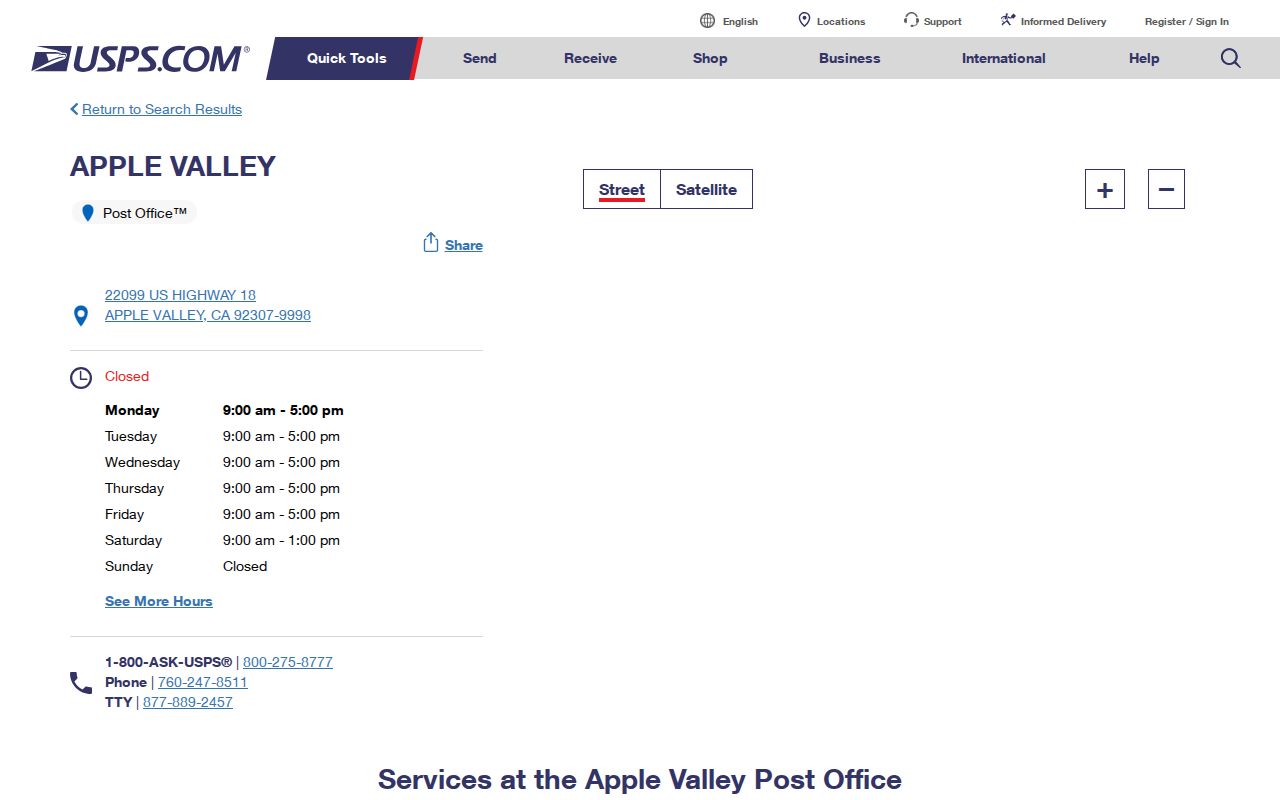
The USPS Post Office capture helps verify postal service information, but postal city and municipal jurisdiction remain separate address layers.
Before and After Apple Valley Incorporated
San Bernardino County was created in 1853. Apple Valley incorporated as a Town on November 14, 1988, after the community and postal name were already in use. That split changes the likely custodian. Older permits, roads, planning files, and local-government records generally began as County or unincorporated records. Post-1988 municipal series shifted to the Town. A street directory search that ignores the date can ask the right office the wrong question.
County ARC remains the backbone for deeds and parcel assessment. Town Clerk and department records cover council, contracts, municipal licenses, permits, code, and planning. A CPRA request can seek an existing identifiable record, but it cannot force an office to create a new list of street residents or disclose information made confidential by another law.
When older road names, tract labels, or a pre-incorporation address appear, search the APN and legal description first. Then compare County maps, Town records, criss-cross books, aerial evidence, and newspapers. The address itself is a clue, not a permanent identity.
What Apple Valley Street Directory Cannot Reveal
Public street research cannot produce a complete household list. Non-owner household members, children, utility customers, delivery records, DMV addresses, and every voter at an address are not open fields. Safe at Home participants can use a substitute mailing address and confidential voter registration. A protected person may therefore be absent from a map, deed, directory, or ordinary voter result for a lawful reason.
Keep the labels narrow. “Owner” means an assessment or recorded-document role. “Mailing contact” means where tax mail goes. “Listed occupant” means a directory entry. “Voter” means a self-status result or an approved data field. None should be silently merged into “resident.” California stalking law, criminal-threat law, civil-harassment orders, and restrictions on voter or DMV data set hard limits on contact and reuse.
Lawful personal use. Apple Valley address records are suitable for family history, property research, civic records, and personal safety awareness. Do not use a street directory to stalk, harass, intimidate, impersonate, or harm anyone; public availability never removes those limits.
Note: A careful street directory result names its source, date, record role, and uncertainty instead of claiming more than the custodian publishes.